In transit once again
Today we packed our bags and prepared for a return journey north.
Before we would begin though, we weren’t quite done with the Hobart region.
Parting is such sweet sorrow
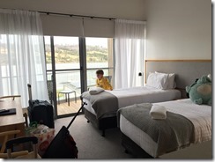
Removing kids from a functioning TV is no less challenging now that it was 30 years ago, but we had to check out at some point. We spent a little bit more time in the resort pool as a way of saying our farewells.
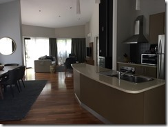
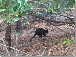
We bid adieu to the cosy and somewhat fancy little bungalow at the resort, but not before snapping a picture of what looked a bit like a tiny Kangaroo which had been canvassing the area.
It’s actually a Tasmanian pademelon, and they are quite populous on the island.
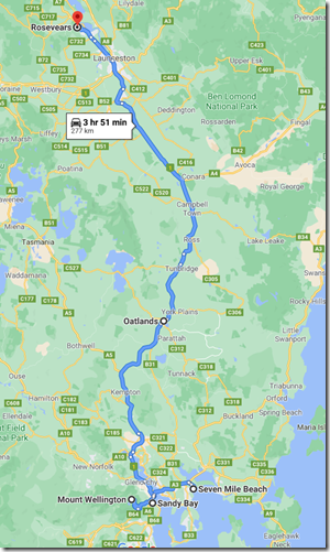
Native animals not withstanding, we packed the car and drove west towards Hobart.
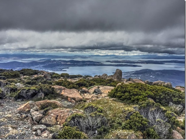
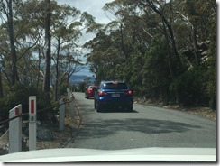
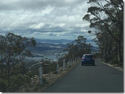
We wove through the state capital and then upwards.. and upwards through tight bends and deathly inclines to scrape the sky at the top of Mount Wellington, which is a cool 1271m about sea level, not far below. For some context, the continental height peak is Mount Kosciuszko, supported by the mammoth Great Dividing Range at 2,228m.
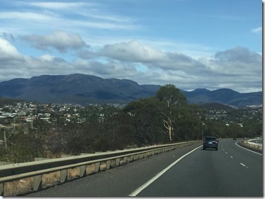
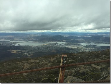
To the destination / Looking back to our origin
On the way up, we noticed a lot of residential objections to a potential cable car construction which, frankly, would save many people from the dangers of the road twisting up into the skies.
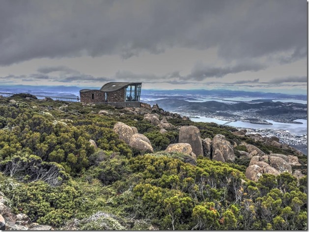
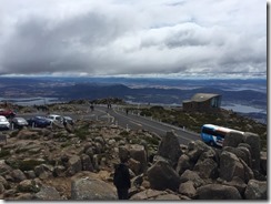
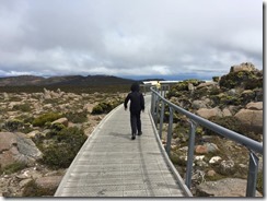
The view from the top is simply stunning, as you may expect. At the very top of the mountain is a carpark, a walking track and an observation centre with an additional platform which extends out to an edge facing Hobart.
Some of this was familiar to me, having visited in 1990, but the uncovered viewing platform seems new.
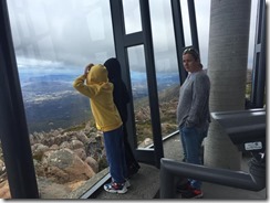
We started at the enclosed observation deck before heading out onto the exposed platform. It was still quite cold despite being late January.
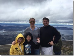
Another tourist offered to take a family photo of us all.
Or next stop was with the actual top of the mountain which contains lots of tourists and a trig point.
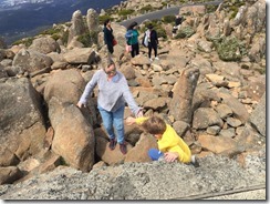
The climb was not exactly easy, but we all made it onto what is really a small concrete area about the size of an oversized pallet.
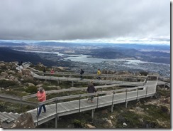
The view wasn’t that impressive, but it was nice knowing we were standing on the highest point. We carefully made our way back down and along the established walking track to look northerly.
Before long it was time for a dreaded return down the scary road.
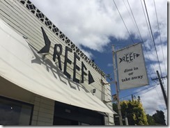
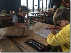
We drove back via the Sandy Bay area of Hobart, and found a seafood/pizza restaurant to dine in for lunch. A nice locally owned and managed restaurant, we had a nice meal but were mindful of time and to get back on the road, north bound.
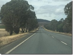
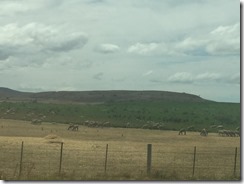
Once out of the shadow of Hobart, the freeway opened up into exactly the sort of countryside you’d expect. Very little traffic and punctuated by farms, hills and livestock as you pass through the state.
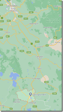
As we journeyed north, we decided to stop somewhere new. We chose the town of Oatlands, a little bit south of Ross, which we visited on the way south.
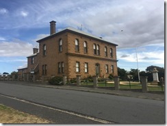
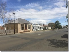
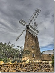
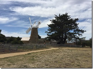
Oatlands is a lot larger than quaint Ross, and has a whole lot of heritage buildings. The big attraction here is the mill, which really is quite fetching.
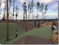
We looked in an op shop before parking near the mill and letting the kids play at a playground nearby. Toni and I walked up and inspected the mill and surrounds. One thing inland Tasmania does not lack is colonial character! With the kids restlessness sufficiently mollified, we continued on our way.
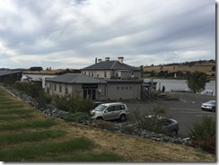
Our destination was the Rosevears Hotel in Rosevears, about 20 mins north of Launceston. Don’t let the photo fool you – they built modern accommodations on the hill behind the old hotel.
Once settled ,we drove into Launceston for dinner & supplies.
We had dinner in Launceston at a sports bar/restaurant called “Sporties”, which suited the kids.
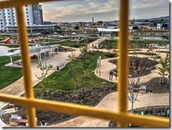
Afterwards, we hit up a Coles for food and then drove the kids back to Riverbend Park.
As the sunlight started to dwindle, we headed back to the hotel for a well deserved rest and to be ready for a new day.
