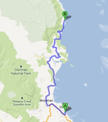
With word of a storm brewing to the south, which may turn into tropical cyclone Sandra by Friday, we took a journey (with trepidation) north through the Daintree rainforest as far as Cape Tribulation (and the extent of paved roads along the cost).
The day started out beautifully and although we didn’t get on the road as early as I’d hoped, we were on our way around 9:30am which had us at the Daintree river ferry crossing before peak hour (11pm-1pm).
We’d already covered the territory between the Daintree river and Port Douglas yesterday, so nothing new to report along that segment of the driving. Pleasant greenery with sugar cane and more sugar cane.
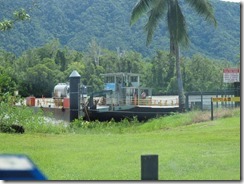
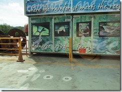
Our destination was Cape Tribulation and the surrounding region, which included a lot of driving along narrow twisting and turning roads. It all starts at the “gateway” to the Daintree – the river ferry, which operates off two steel cables which run along the river. It costs $23 for a return journey, although no-one checked our receipt on the return..
 I’d advise getting to the ferry early (before 11am) unless you want to waste a decent amount of time queuing for the ferry.
It doesn’t hold too many cars, so if there were a fair few (including buses) you could be waiting over half an hour for sure. Once you are clear of the river, it is time to start ascending those winding roads.
As a strategy goes, Toni’s strategy of getting to Cape Tribulation first, and then working back was pure gold.
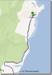
We managed to avoid the majority of tour buses and hit the Cape at 11:30am. It was a smooth run from the ferry to the Cape as we flew by all the attractions we’d come back to in the afternoon.
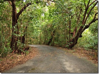
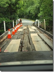
Rainforest-clad winding roads / Bridge under repair
One highlight – we crossed a really old looking wooden bridge which was undergoing reconstruction. Honestly, I haven’t been that worried about a bridge in quite a while until now!
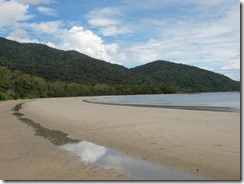
The beach was very impressive, and you could make out the reef just off shore. After snapping a panorama, we made our way south and climbed to a lookout platform, which provided more views of the cove. Afterwards, we returned to the car as more people started popping up around the place.
On our way out, we stopped and took a trek around the Myall (Dubuji) Boardwalk which snakes through the edge of the tropical rainforest including the wetlands and mangroves. This proved to be great value (free) but rather longer than we had anticipated! Having seen our fill of Cape Trepidation, we started our return journey south.
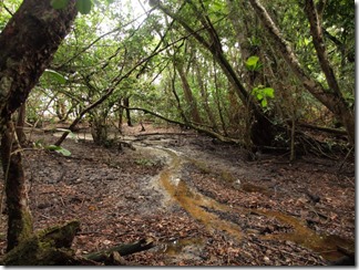
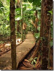
Wetlands near Cape Tribulation beach / Myall Boardwalk
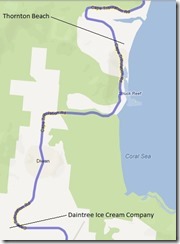
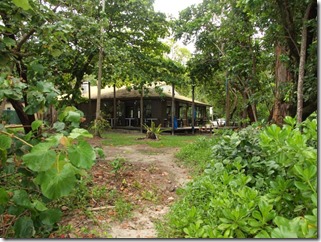
Before our next stop, we briefly paused at Coconut Beach for a quick panorama, and then resumed to Thornton Beach. Here we had lunch at the Thornton Beach Kiosk, which is conveniently located on the beach. Lunch here didn’t break the bank, but wasn’t anything to rave about either. I had calamari and chips, and Toni had fish and chips – neither knocked our socks off.
After lunch we tried to track down a swimming hole near the insect museum, but had no luck locating it. Undeterred, we continued on to the Daintree Ice Cream Company which was a little further up the road in Cow Bay. They only serve a specific mix of flavours (no choice) so we both each had a serve of wattle seed with banana and raspberry & macadamia nut. It was a pretty nice mix, to be honest!
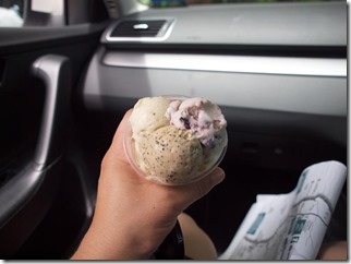
Ice cream from the Daintree Ice Cream company / Discovery Centre
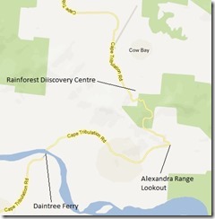
Our second to last stop was at the Rainforest Discovery Centre, which is situated at the foothills of the first big decent into Cow Bay. It’s really overpriced at $32 per adult ($64 for two adults), and if it were about half that price, would be worth visiting.
There’s an aerial walk which takes you through the mid levels of a working rainforest, plus the looming canopy tower, which takes you to the top of the forest for a sweeping view of the area. You also are given audio tour handsets and a booklet which allows you to refer to both a many areas around the place, but we didn’t make great use of either.
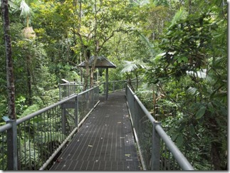
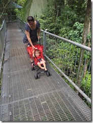
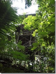
Rainforest Discovery Aerial Walk / Jake and Toni / Canopy Tower
 We also walked along one of the lower rainforest trails (on a metal path) which was refreshing, but we got about the same experience out of the Dubuji boardwalk, which was free!
So to be honest, as nice as it was to walk the aerial walk, and to climb the canopy tower, I’d rather have saved my money.
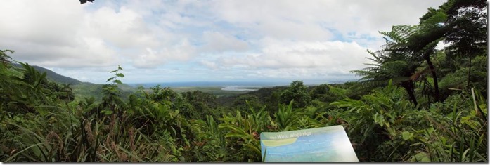
Our last stop before returning to the ferry was the outstanding Alexandra Range lookout, which provided sweeping views to Snapper Island and south (possibly) to Port Douglas.
We found ourselves back on the other side of the range just before the afternoon peak hour (3pm-6pm) and only had to wait for the ferry to return from the southern side (about 10 minutes). The return journey looked like it was going to be a bit dicey as a low front came across the hills, providing some outstanding visuals.
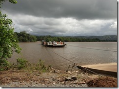
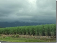
Better view of the ferry / Clouds rolling across the cane fields
Once back at the Ramada, we quickly changed into swim ware and took to the resort pool. At around 5pm it started raining lightly, so we returned to our room and started the process of preparing for dinner. I can safely say that I’ve seen enough rainforest for now ![]()
Tomorrow is our last full day in Far North Queensland, and we’re marking it as a rest day. I’m not sure what we’ll get up to (if anything), but check back anyway as I’ll likely post a photo retrospective towards the end of the day.
